Frosty morning expected in North East following snow showers of last few days


The Met Office says that any remaining areas of cloud with coastal wintry showers soon dying out.
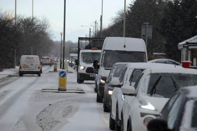
They say this will leave a clear and very frosty night, with icy stretches developing on untreated surfaces.
Advertisement
Hide AdAdvertisement
Hide Ad
A yellow warning for ice remains in place until 11am on Sunday in the region.
Some cloud may arrive late in the night while winds will becoming light northwesterly.
The evening will have a minimum temperature of -8 °C.
Tomorrow forecasters expect a frosty start and cloud will quickly increase, with some rain and hill snow reaching the Pennines late morning, before spreading further east.
It will be cold with freshening southerly winds and slow thaw.
The maximum temperature 4 °C.
Advertisement
Hide AdAdvertisement
Hide AdLooking ahead to next week, it is predicted to be less cold but more unsettled.
The weather will be windy at times, with spells of rain and hill snow.
Some cold nights with overnight frost and continuing risk of ice.